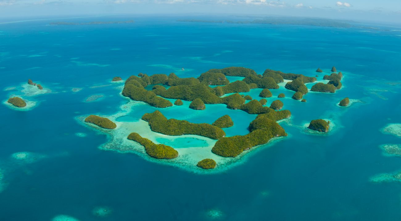
Palau Aquaculture Suitability Web Map and Decision Support Tool
October 17, 2023

With financial support from NASA, The Nature Conservancy and the government of Palau have designed an interactive mapping tool to help Palauans determine the best spots for aquaculture farms. By using NOAA and NASA satellite data, the tool accounts for dozens of factors, from geographic qualities like water depth and ocean currents, to infrastructure considerations like the presence of docks and ports. These factors help narrow down all possible location options to just those that are appropriate for individual species and don’t interfere with sensitive habitats, culturally significant sites or economic activities like trade and tourism.